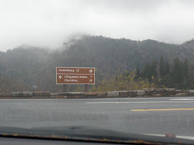
We were off to a late start because it was foggy in the mountains.
The wispy smoke-like fog that hangs over the Smoky Mountains comes from rain and evaporation from the trees. On the high peaks of the Smokies, an average of 85 inches of rain falls each year, qualifying the upper elevation area as a temperate rain forrest.
The wispy smoke-like fog that hangs over the Smoky Mountains comes from rain and evaporation from the trees. On the high peaks of the Smokies, an average of 85 inches of rain falls each year, qualifying the upper elevation area as a temperate rain forrest.
On The Road Again...
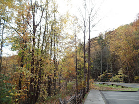
"Auto Touring" through the park includes a variety of panoramic views. I want to see a black bear...
and yet, I don't. The Great Smoky Mountains National Park has one of the largest populations of black bears of any similar-sized areas in North America.
So, my chances of seeing one or more is pretty good here.
Gatlinburg is nestled in the valley at an elevation of about 1,300 feet.
The summit of Mt. Le Conte is 6,593 feet.
The difference between the two- more than one vertival mile-
is the greatest such elevation contrast in the eastern United States.
Carlos C. Campbell Overlook
The Smokies have a greater variety of tree species than anywhere else in North America
or in all of Northern Europe- some 99 native trees.
Not all species grow everywhere.
Some grow only in valleys, others on ridge tops, some on shady slopes, and some only
at the highest elevations.
Each requires specific conditions to thrive.
or in all of Northern Europe- some 99 native trees.
Not all species grow everywhere.
Some grow only in valleys, others on ridge tops, some on shady slopes, and some only
at the highest elevations.
Each requires specific conditions to thrive.
The Chimney Tops
Nearly vertical holes in the tops of these jutting rocks make them look like
natural chimney flues, and mountain people named them so- Chimney Tops.
The Cherokees called them forked antlers.
We traveled along the Newfound Gap Road towards the top of the mountain.
The Land of Blue Smoke
The Cherokee described these mountains as shaconage meaning
"blue, like smoke."
A smoke-like natural bluish haze, and mist-like clouds that rise
following a rainstorm, provide the inspiration for the name
Smoky Mountains.
following a rainstorm, provide the inspiration for the name
Smoky Mountains.
On to the top of the mountain.
On our way to the top of the Smokies
We rested on every available bench.
Appalachian Trail
One of the longest footpaths in the world,
The Appalachian Trail
extends more than 2,100 miles between Georgia and Maine.
The trail passes just below this tower.
At 6,643 feet, Clingmans Dome is the highest mountain in the
Great Smoky Mountains National Park and one of the highest peaks
in the eastern United States.
As we approached the tower,
I thought there would be an elevator to take us to the top.
I was wrong!
I thought there would be an elevator to take us to the top.
I was wrong!
Doug made the long half mile climb to the top.
The paved trail to the observation tower was steep,
and the air is thinner at this elevation.
The walking time to the top is about a 30 minute climb.
The paved trail to the observation tower was steep,
and the air is thinner at this elevation.
The walking time to the top is about a 30 minute climb.
The observation tower at the summit took us above the treetops for a panoramic view.
This is the Western View.
This is the Western View.
Looking west you can track the course of the North Carolina-Tennessee
boundary.
On rare occasions, you can see up to 100 miles.
On rare occasions, you can see up to 100 miles.
This is the Eastern view from the top.
The Southern View
The clouds today and rain interfered with long-range viewing.
My yoga mountain pose on the mountain.
No bear sightings today.
Back down the Smoky Mountains.
Our evening was spent at the Opry enjoying their Christmas show.
Back down the Smoky Mountains.
Our evening was spent at the Opry enjoying their Christmas show.


No comments:
Post a Comment