Exploring Cape Cod
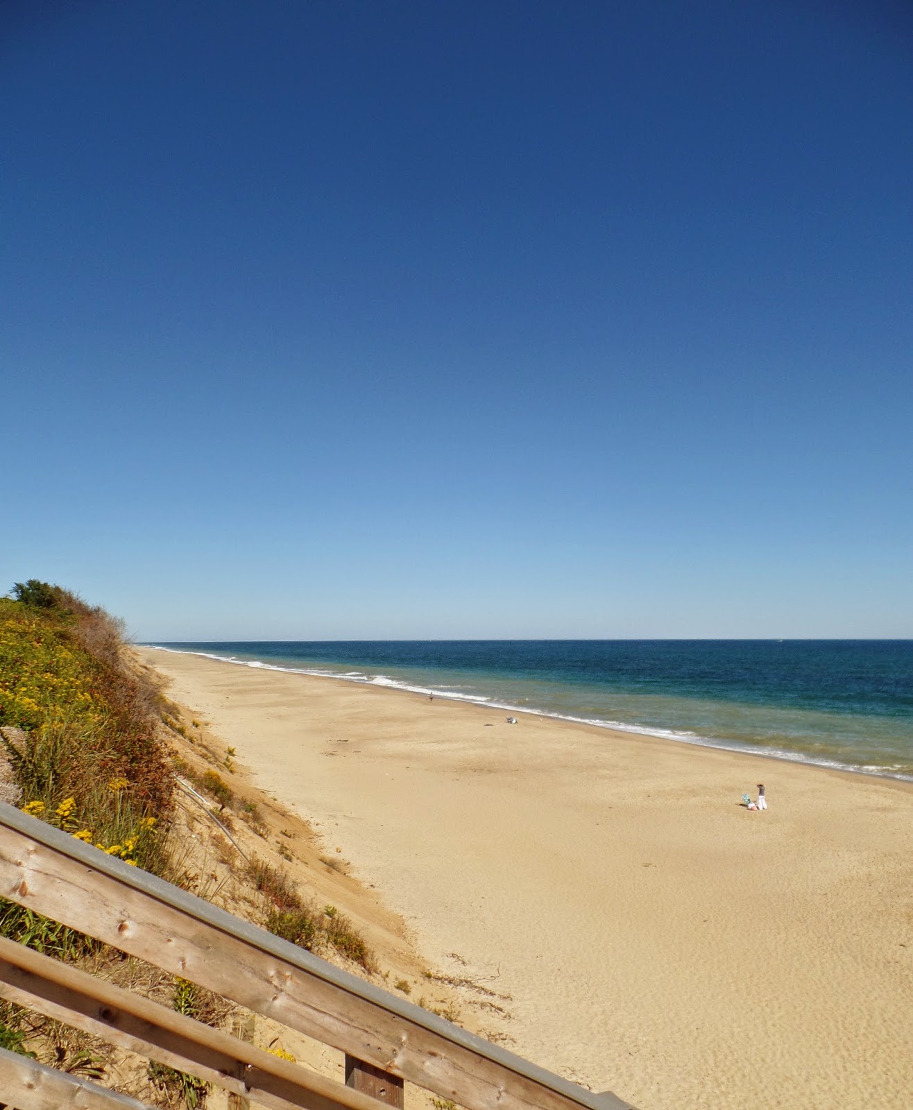
Then we were off to Provincetown for our final destination. Our trip started via the scenic Route 6A Highway along Cape Cod's northern coast. At Orleans we picked up Highway 6 taking us North along the Cape Cod National Seashore. It proved to be an ideal way to see the countryside and we made couple of stops at the pristine sandy beaches.
We drove off the main route onto a little meandering road that led us to Dennis. The waters of Cape Cod Bay washed along the shores of the beach where the locals were walking their dogs, jogging, or just strolling along the shore.
We took off our shoes and let the cool, moist, white sand squish
between our polished freshly manicured toes.
and exoskeletons of horseshoe crabs.
Doug is being attacked by a local, crab that is!
We continued traveling to explore
The Cape Cod National Seashore.
As the largest glacial peninsula in the world, Cape Cod has one of the longest sandy shorelines on the East coast. Its beaches, marshes, and uplands support diverse species while its lighthouses and
historic sites offer a glimpse of the Cape's past and present ways of life.
A map of the route from The Salt Pond Visitor Center to Provincetown.
At The Salt Pond Visitor Center,
Lyndie and Doug discovered treasures from the waters around Cape Cod.
Now they can audition for Star Trek.
Star Trek's Klingon.
These waters are the Atlantic Ocean.
A man may stand there and put all America behind him.
Henry David Thoreau
There is an adage,
"Take only photographs, leave only footprints."
The ocean landscapes are transitory,
continually moving under the influence of water and wind.
The Mayflower Landfall.
We learned a little history from the signs posted along the beach trails.
The sign reads:
After more than two perilous months at sea, the Pilgrims aboard the Mayflower sighted their first land. Here on the morning of November 9, 1620, desiring to reach a settlement site near the Hudson River, Captain James directed the ship southward along the Cape, however, dangerous shoals lying just a few feet under the surface forced the Mayflower to turn back to the north. The small ship finally came to anchor in what is now Provincetown Harbor. (That is our destination today as we travel Route 6 northward to Provincetown.) At Cape Cod the Pilgrims gathered firewood, searched for food and fresh water, and explored the new land. The 101 passengers and crew remained here one month before setting sail for the mainland where they established New Plymouth Colony.
Just down the road, we looked out over the Nauset Light Beach.
Here is the Nauset Light.
It was originally erected in Chatham, MA,
in 1877 as the North Tower of the Twin Lights.
It is 48' tall to the center of the red and white beams.
Pushed Back by the Sea.
The first lighthouses built here in 1838 were placed over 600 feet east of where the lighthouse is now.
The ocean waves ate away at the base of the cliffs, causing erosion rates averaging 3 feet a year.
This photo shows Nauset Light as it stood in 1996, when less than 40 feet remained between the light and the cliff edge. That year, the lighthouse moved to its current location.
We drove a little farther along, then we walked along Marconi Beach on the Atlantic.
Guglielmo Marconi made communication history
from these South Wellfleet Cliffs in 1903
by sending the first transatlantic wireless message to Great Britian.
We got into our car and traveled on to Truro.
We toured the beautiful vineyards of Truro.
Then we arrived at our final destination of the day, Provincetown.
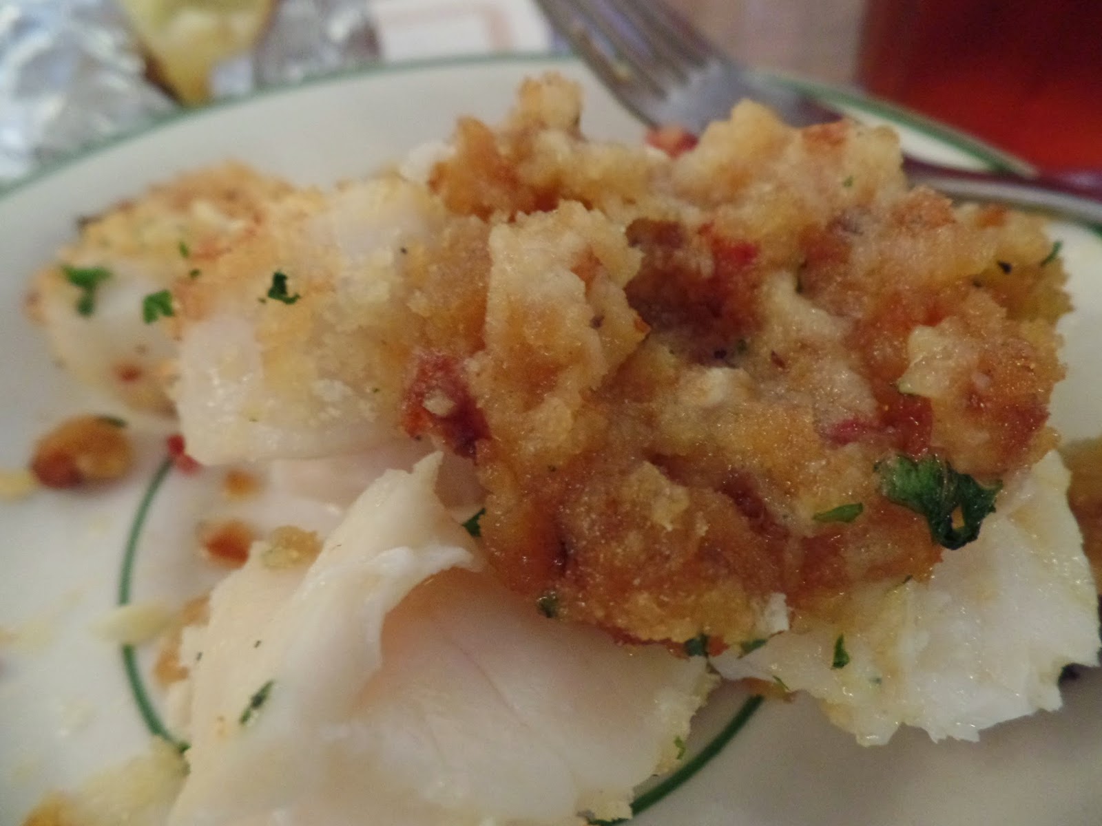
We stopped for lunch and had a delicious assortment of seafood.
And, stopped at a Portuguese bakery...It was difficult to chose just one pastry!
And, a candy store....Salt Water Taffy!
This is the view of the Pilgrim Monument.
"...straightly tied to all care of each other's good and of the whole by every one."


No comments:
Post a Comment